
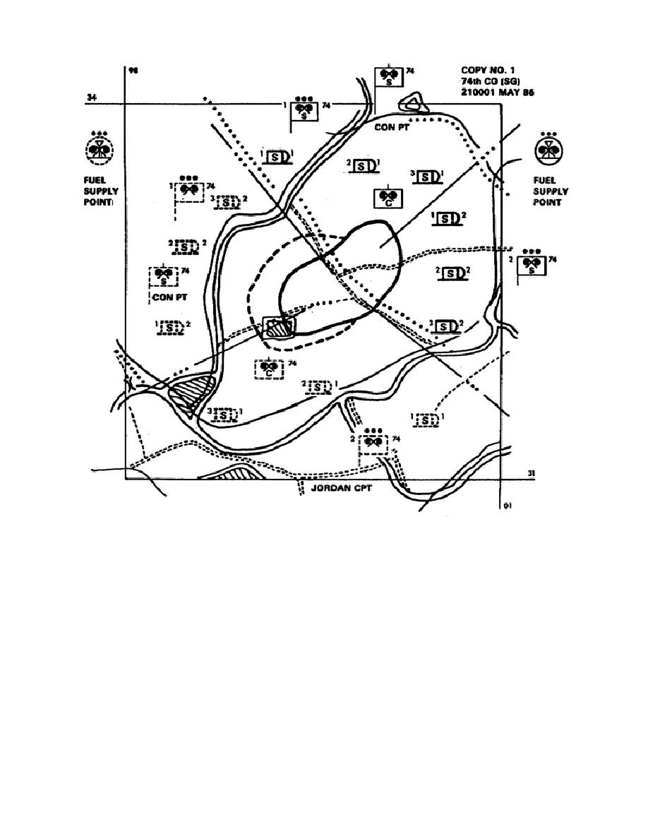
Figure 11. Smoke operation overlay.
NOTE:
The intersections of two sets of grid points are excellent points. The use of grid line reference
points assists in accuracy. In addition, the overlay can be positioned on another map correctly.
Step 4. Plot the location of the following:
o Selected area.
o Boundaries.
o Generator positions.
o Command and logistical sites.
o Wind direction.
Step 5. Record the marginal data.
Step 6. Recheck all plotted locations for accuracy.
32

 Previous Page
