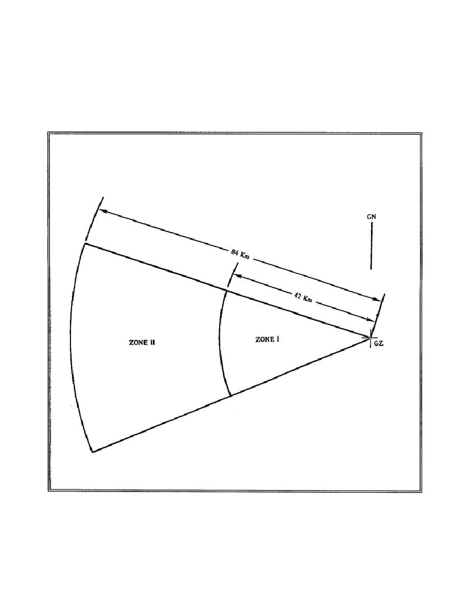
Step 8. Completion of the Fallout Prediction.
a. Start with GZ on an overlay at the selected map scale and extend the
radial lines at their proper azimuths to any convenient distance.
Mark grid north on this overlay. The fallout wind vector plot was
originally drawn to a convenient map scale; for example, 1:500,000.
If it is more convenient, a different map scale can now be used to
complete the fallout prediction.)
Figure 3-8.
Zone I and Zone II
CM5206
3-16


 Previous Page
